OpenTrailPaper e-paper bike computer
Flash OpenTrailPaper v1.19 in a supported desktop browser to add offline maps, GPX navigation, FIT ride recording and BLE cycling sensors.
View original project ↗What you’re building
Raemond’s OpenTrailPaper turns the GPS-equipped LILYGO T5 E-Paper S3 Pro into a standalone cycling head unit. Firmware v1.19 records one-hertz FIT ride files, renders offline maps from microSD, follows GPX routes and pairs with Bluetooth heart-rate, cycling-power and cadence sensors. Its optional iOS and Android apps transfer routes, maps, rides, settings and firmware over BLE, but the head unit can record and navigate without a phone after its files are loaded. The project’s setup page directs users to its local Web Serial flasher in desktop Chrome, Edge or Opera and marks Safari, Firefox and mobile browsers unsupported for this workflow. Choose the full Pro board with GPS, not the Pro Lite or a no-GPS store variant. A 32 GB FAT32 microSD card is ample for the documented file layout. The board is a development device, not a weatherproof retail bike computer: it has no IP rating, no barometer or magnetometer, its controls can be awkward with gloves, and the project measured about 7.4 usable hours from the 1,500 mAh battery with the front light off. Protect it from rain and test the mount, GPS, sensors and recording on a short route before relying on it.
Key steps
- Confirm that the board is the full T5 E-Paper S3 Pro with GPS rather than the Pro Lite or a no-GPS store option, charge it, and back up any firmware or files you need before replacing its current software.
- Open the project setup page in desktop Chrome, Edge or Opera, connect the board with a USB data cable, hold BOOT, tap RESET, release BOOT, then use Connect to select the new USB Serial port.
- Keep firmware v1.19 selected, start the Web Serial flash, leave the cable connected until it completes, then press RESET and confirm that OpenTrailPaper boots.
- Format a name-brand 32 GB microSD card as FAT32. In the setup page, select a modest local riding area, generate the offline map, unzip it to the card root so the files land under /maps/tiles, and insert the card while the device is off.
- Start outdoors with a clear sky view, acquire a GPS fix, pair any BLE sensors from the Sensors screen, and load a short GPX route from the companion app or /routes on the microSD card.
- Fit a secure quarter-turn adapter and mount, add weather protection, then make a short test ride. Verify live GPS, map coverage, turn prompts, sensor values and a readable FIT file before using the device on a longer route.
Original project and code
Original project pages, manufacturer documentation and repositories used while preparing this page. Last reviewed .
Hardware for this project
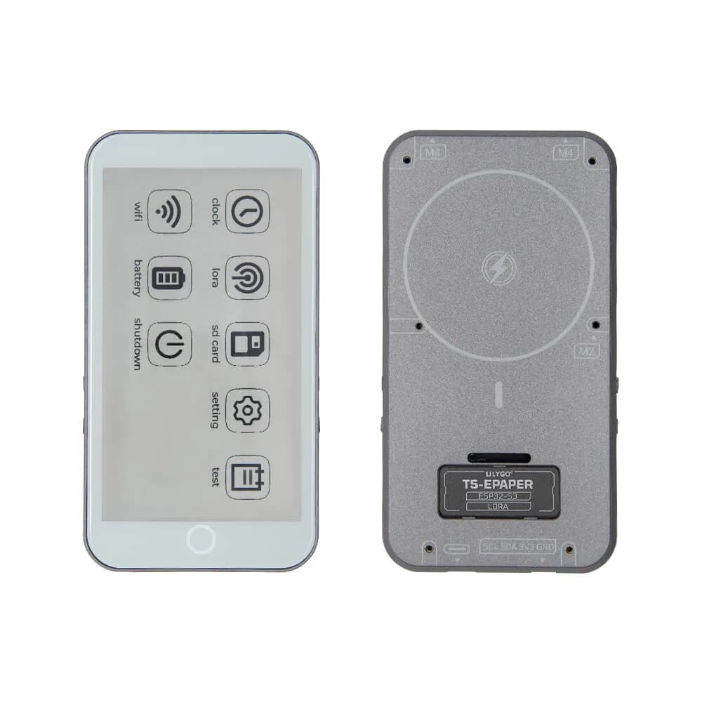
T5 E-Paper S3 Pro
ESP32-S3 development tablet with a 4.7-inch 960×540 e-paper touchscreen, GNSS, SX1262 LoRa, microSD, battery management and USB-C.
- Platform
- Espressif ESP32-S3 with 16 MB flash and 8 MB PSRAM, Arduino/PlatformIO · Arduino
- Builds
- 01